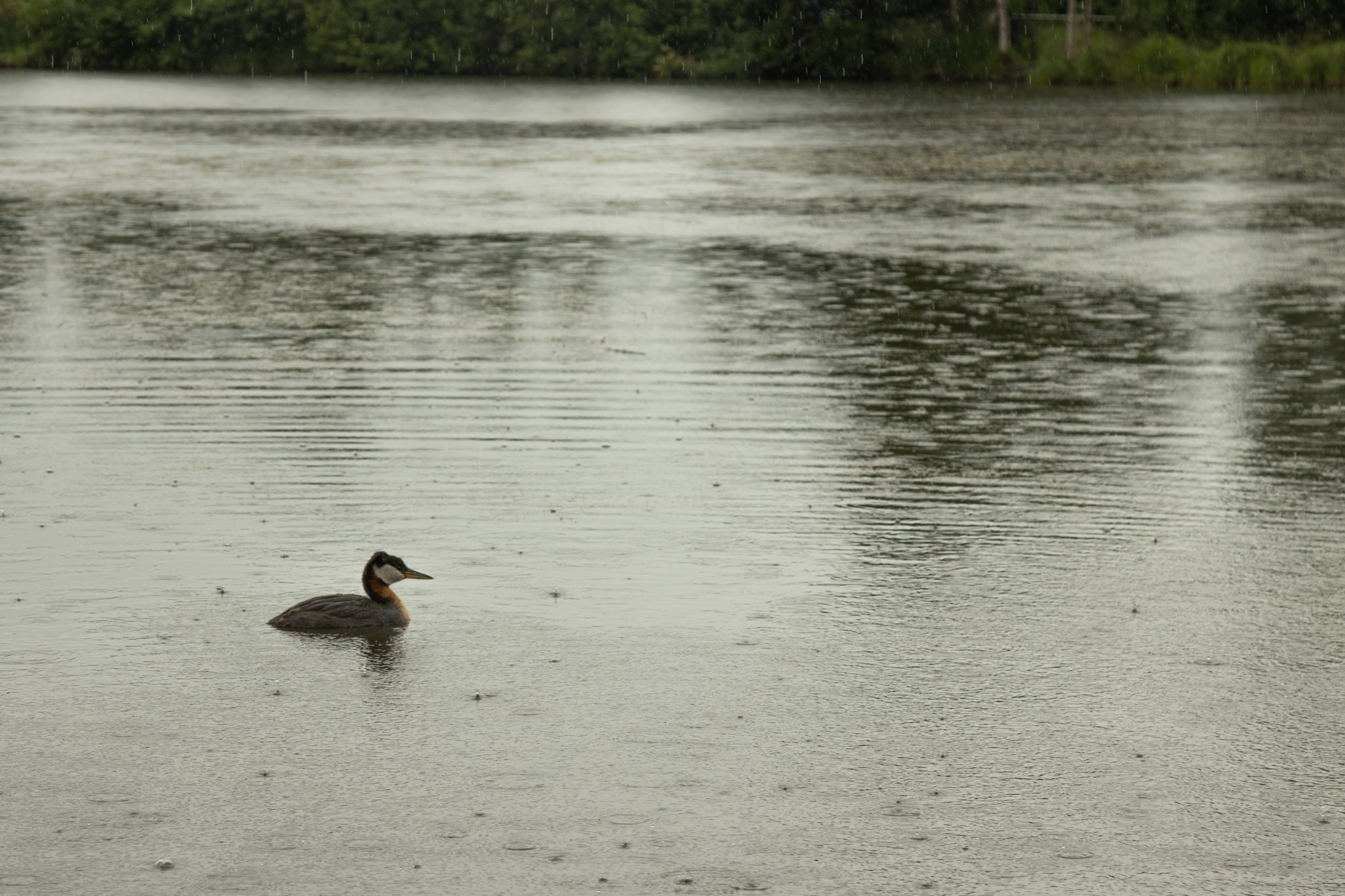
It’s been rainy in Alaska for much of July so far, with Southcentral set to see cloudy skies through the week.
That comes on the heels of a drier than usual June, which sparked concerns as wildfires burned across the Interior.
As part of our Ask a Climatologist segment, National Weather Service climate researcher Brian Brettschneider says the rain is lessening those wildfire concerns, and though temperatures may seem comparably cooler, it’s still a warmer-than-average summer.
Listen:
This interview has been lightly edited for length and clarity.
Brian Brettschneider: Obviously, rain is a great antidote for wildfire concerns. And it’s been, at least in Southcentral, it was fairly dry for the month of June, and actually most of the state it was dry for the month of June. And we were getting more concerned about the conditions that might be susceptible to starting fires. But this rain has certainly, quite literally put a damper on that.
Wesley Early: And speaking of wildfires, there were a bunch that were burning in the Interior. You mentioned that a big chunk of the state has seen rain. Is the Interior part of that big chunk?
BB: Yes. So if you look statewide, the first half of July, we basically had an entire July’s worth of rainfall, so far, on average statewide. You know, places like Nome, it’s five times as much rain so far that they should have had for the first half of July. And pretty much every single station is well above normal, with just a couple of exceptions. And so the fires that were burning, I don’t think there’s any fire that was burning that hasn’t gotten significant rain. I’m not sure if they’re all out or not, but the rain has definitely been a blessing for fire. And also, you know, July is basically the month of the year where we get the most lightning strikes by a wide margin. It’s July, and then it’s kind of June to a lesser degree, August to an even lesser degree. And with all this, these wetting rains, and they’ve been a kind of steady rains, not convective, not thunderstorms, not nearly as much. And that’s also good for fires. And now we’re really only a few weeks away from the end of the busy time of the lightning season. So there’s not going to be too many more opportunities for new fires to start, hopefully.
WE: We’re coming to the end of what’s considered, sort of, the peak of wildfire season, peak of lightning season. What is the rest of the summer looking like?
BB: Well, the Climate Prediction Center, they do monthly outlooks, and the next outlook, which is going to be released on Thursday, will show that the southwest part of the state is most likely to be a little bit below normal temperatures. And then the north and northeastern part of the state may be a little bit warmer than normal and about half the state in the near-normal category. A very familiar climate outlook pattern that we’ve seen a number of times over the last few months, and the August one looks to continue that trend also with above normal chances of being wetter than normal. And keep in mind, July and August are the two wettest months of the year in the mainland, so not Southeast, but in the mainland, those are the two wettest months of the year. And so even near-normal rainfall during those months is a good thing. It’s a good amount of rain and we potentially could be on the high end of that.
WE: And this seems to be the second year in a row where the Lower 48 has had baking temperatures. I’ve seen so many places that don’t normally have above 100 degrees having above 100 degrees. Alaska is having a… I don’t want to say lackluster, but a less severe summer. It seems like an odd trend that as the Lower 48 bakes, Alaska has a comparatively cooler summer. Is that normal?
BB: Not really. There’s a little bit more correlation in the winter where there can often be kind of a flip between what Alaska experiences and what the Lower 48 does. It doesn’t really work out so much in the summer. So June statewide it was a top 10 warmest June. It was also a top 10 driest June. And so we need to be careful now that we’re in a kind of a cool wet pattern to think, “Oh, this has been a cool, wet summer.” It really hasn’t been. In fact, for the first half of the summer, statewide, we’re kind of exactly normal. The southwest part of the state is cooler than normal, the eastern part of the state is warmer than normal. But on balance, we’re right at the 1991 to 2020 normal, which is warmer than previous decades. So historically, this is still probably a warmest third of all summers. And, you know, as far as rainfall again, it was a very dry June. We’re definitely making up for that so far in July and the forecast looks for that to continue.


إرسال تعليق